Surveying and Photogrammetry
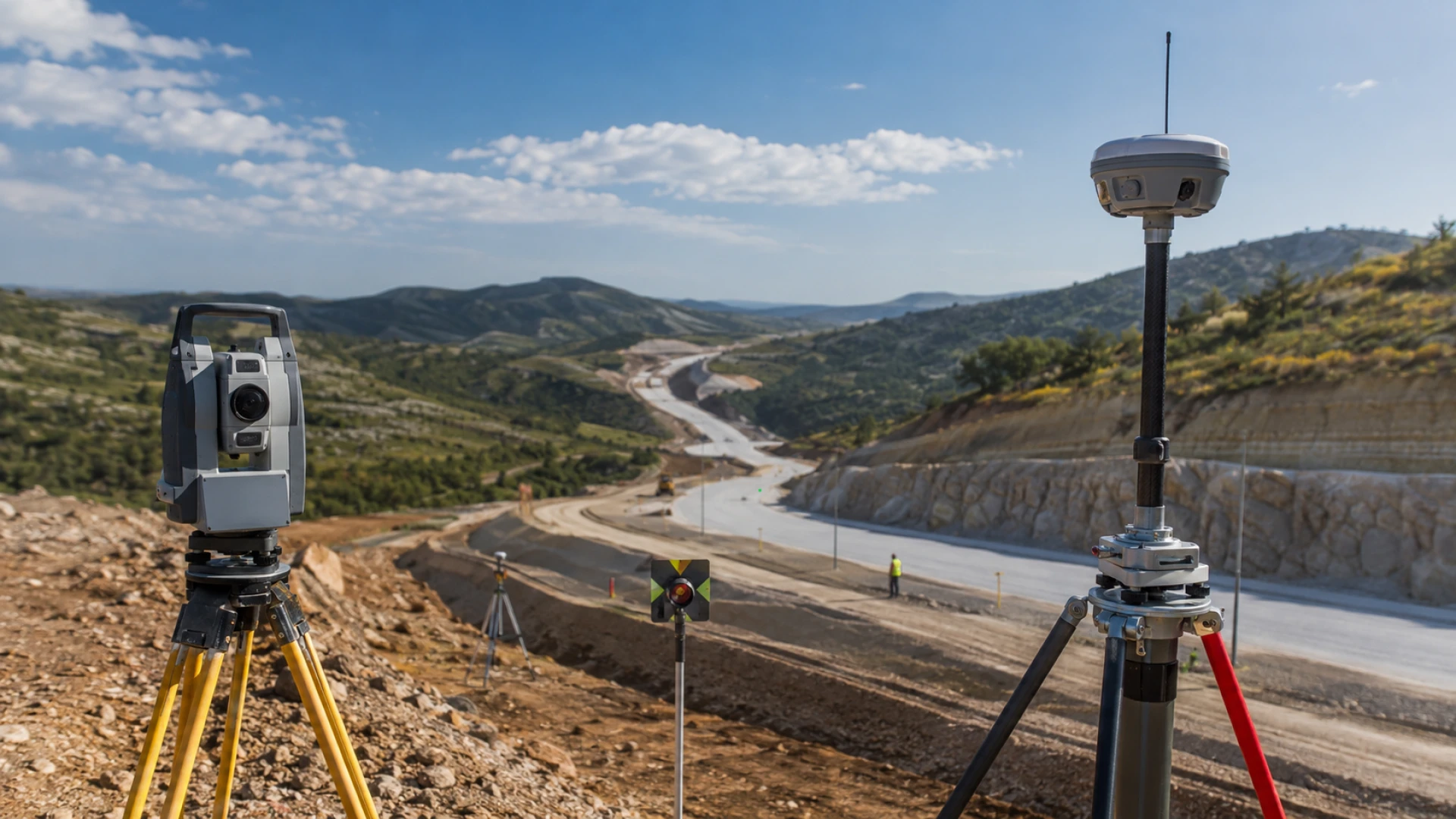
Comprehensive surveying services ranging from geodetic surveys and photogrammetric production to aerial photography, satellite imagery and digital mapping infrastructure.


Explore the engineering, surveying, construction and project development activities of Karadeniz Technical Engineering.
Engineering Expertise
Founded by Halil GÖK in 1988 as a surveying, engineering and consultancy practice, Karadeniz Technical Engineering Industry and Trade Inc. today carries out surveying, photogrammetry, engineering, consultancy, and infrastructure and superstructure contracting projects in Türkiye and abroad.
Combining its technical expertise with modern surveying, data production and geographic information technologies, the company develops reliable technical foundations for the planning, design and implementation of investment and engineering projects.

Areas of Operation
Comprehensive surveying services ranging from geodetic surveys and photogrammetric production to aerial photography, satellite imagery and digital mapping infrastructure.
Planning, design, engineering and consultancy services for infrastructure, superstructure, transportation, energy and other technical investments.
Planning and implementation processes for highways, railways, dams, industrial facilities, technical infrastructure and landscaping projects.
Production of maps, reports, information and documentation that provide a foundation for decision-making and planning processes through Geographic Information Systems, GPS surveys and spatial data analysis.
Our Approach
Every stage, from the accurate acquisition of land and spatial data to the development of engineering projects, is addressed holistically in accordance with technical requirements, project needs and implementation conditions.
The project scope, site conditions, technical requirements and specific needs are assessed to establish the foundation of the work.
The required spatial data is obtained through GPS, photogrammetry, aerial photography, satellite imagery and other technical methods.
The collected data is evaluated through engineering expertise and transformed into project-specific maps, plans, reports and technical documents.
Project outputs are transferred to field implementation, while technical processes are monitored through a coordinated control approach.